Hike the Valley 2026: Silver Route
medium
Summer activities
Event
Hiking
Tour description
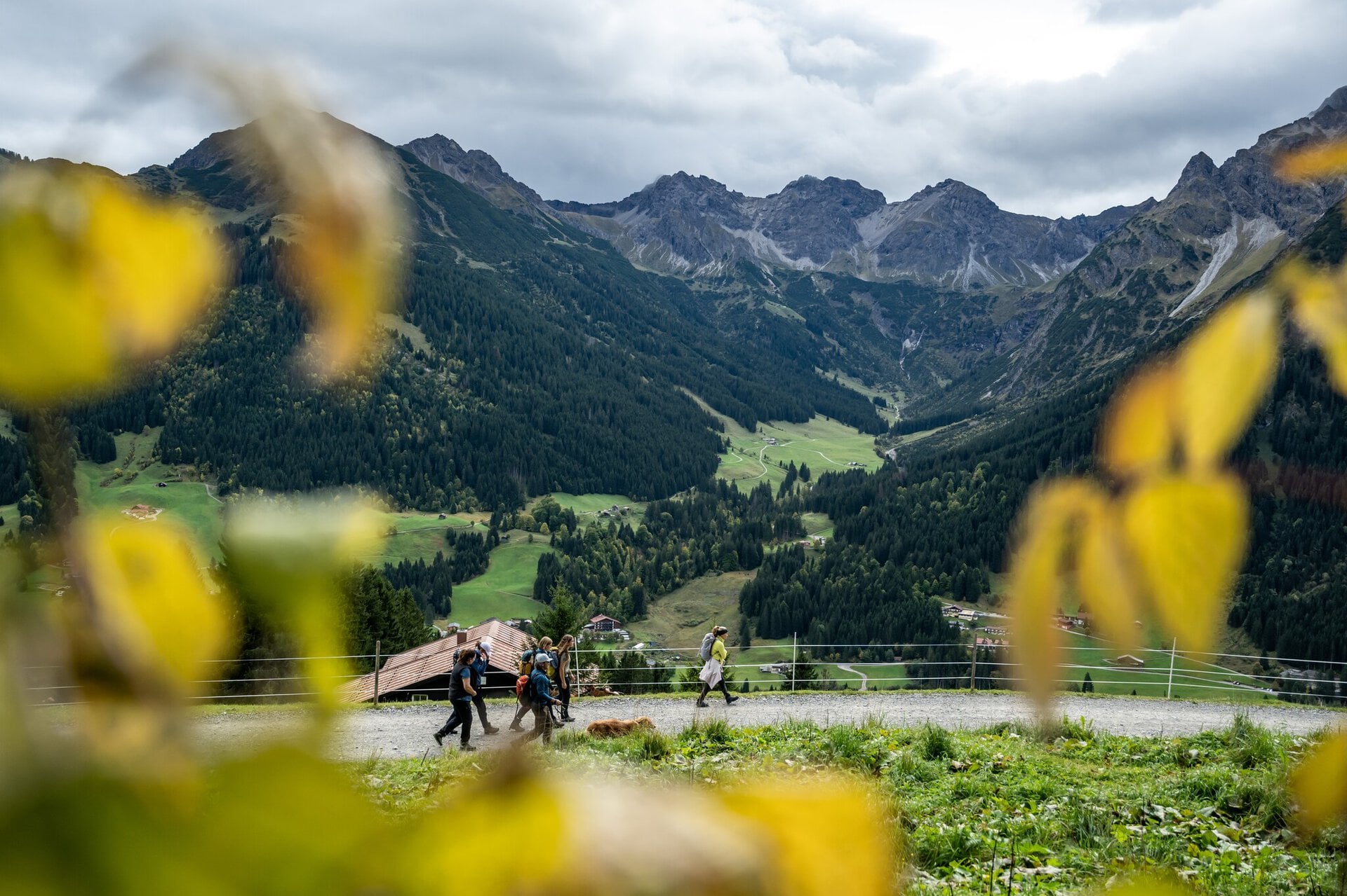
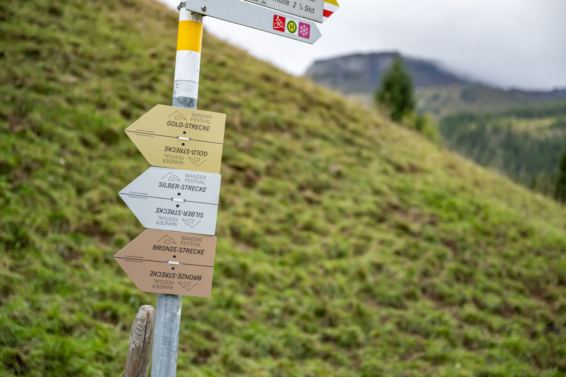
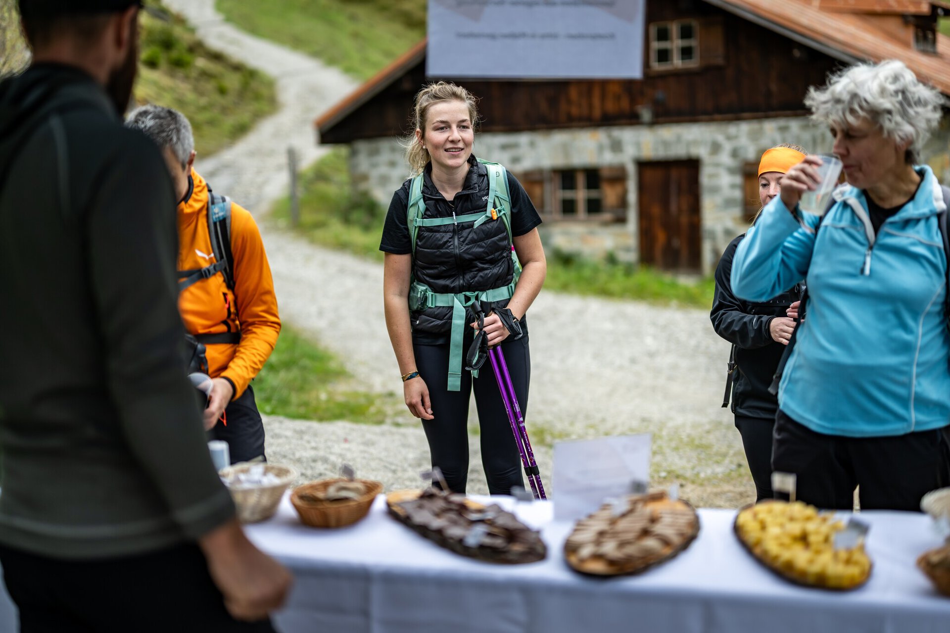
The Silver Route of ‘Hike the Valley’ is approximately 16 kilometres long and has an elevation gain of around 800 metres. On this route, surrounded by the beautiful nature of the Kleinwalsertal valley, you will experience the great atmosphere of a sporting event thanks to the shared passion of the participants – without any pressure to perform or the stress of racing. All participants can be proud of having completed the physically challenging Silver Route when they cross the finish line and will receive an award. After starting at the Walserhaus in Hirschegg, the route leads via Rohrweg and Schöntalweg up to the Heubergbahn mountain station and continues along the scenic Oberer Höhenweg. From the Stutzalpe, the nature trail climbs more steeply to the snack point at the Obere Lüchlealpe. From there, just below the Walmendingerhorn, it passes the Walmendinger Alpe to the Heubergbahn mountain station and back to the finish in Hirschegg via the Schöntalweg.Best season
JAN
FEB
MAR
APR
MAI
JUN
JUL
AUG
SEP
OCT
NOV
DEC
Sart:
Joint start at 9 a.m. at Hirschegg Walserhaus
Goal:
Finish line at Walserhaus Hirschegg
Route description
Joint start at the Walserhaus in Hirschegg – Rohrweg – Oberhirschegg – Schöntalweg – Heuberg Bergstation – Höhenweg – Sonna-Alp – Bühlalpe – Stutzalpe – Lüchlealpe – Walemdinger Horn - Walmendingeralpe – Heuberg Bergstation – Schöntalweg - Finish line in Hirschegg at the Walserhaus
Further info & links
Further links
The ‘Hike the Valley’ event takes place as part of the hiking festival in Kleinwalsertal. The aim of the event is to complete the specified route independently on foot. The focus of ‘Hike the Valley’ is on experiencing nature, community spirit and personal challenge. It is not a competition between participants, so there is no timekeeping.